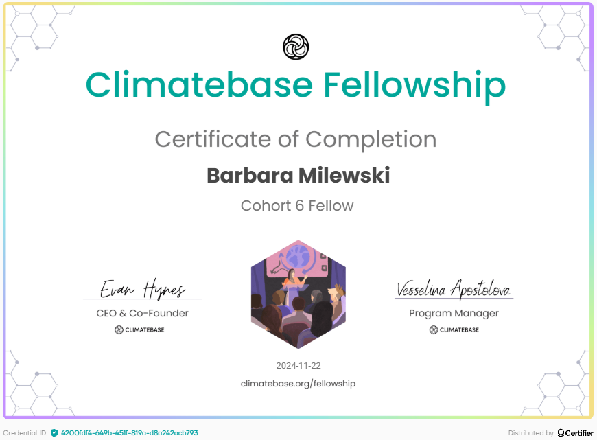
Climatebase Cohort 6 Fellowship

Summary
- Selected from 4000+ applicants to participate in a 12-week fellowship featuring guest speakers, a climate solutions curriculum, and startup development sessions.
- Developed climate expertise through an instructor-led curriculum on topics including corporate sustainability, decarbonization, as well as the GHG Protocol, SBTi framework, and Scope 1/2/3 emissions.
- Pitched and led a project to analyze city data to identify where to prioritize action for mitigating urban heat risk, incorporating feedback from city officials.
- Demonstrated management skills selecting and onboarding 5 fellows, setting the project scope and timeline, facilitating weekly team meetings, and creating wireframes in Figma.
- Led the end-of-fellowship progress presentation for project and was recognized as a fellowship Innovator.
- Utilized time management skills to manage the co-writing of a chapter for a climate data science book on GitHub, explaining climate change physics, data sources and tools, and how climate models work with examples.
- Created the chapter outline, set a timeline, and met regularly to check on progress, with the chapter draft completed on time for review and editing.
- Formatted the chapter in LaTeX, available below as a PDF.
One of the main takeaways I had working on the project to analyze urban heat data was the difficulty in obtaining high-quality heat data. Specifically, satellite data is widely available and generally cheaper to use but has a relatively coarse resolution and shows only the surface temperature, not the air temperature. If a city is able to have a study at the ground conducted, that is often done just once and then modeling is used to extrapolate insights from that data. While it is much higher-resolution and more representative of what people experience at the ground, the narrow timescale and cost (labor and equipment) makes it prohibitive for many other cities. Therefore, there is a gap in low-cost and widely available solutions to collect high-quality small-scale data, not just in urban heat but potentially in many other applications.